
Finding a Manor Township Street Trail
A Manor Township street directory is a parcel-by-parcel research path. It is not an online street resident roster. Start with a full address, then connect the county parcel identifier to the map and recorded instruments. The property roll can show a site address, parcel, displayed owner, assessment context, and sales-history area. The recorder can supply recorded parties and land-description clues. Neither source proves current occupancy on its own.
Use one road segment at a time. Note the portal tax year, the exact street spelling, and municipality 410 before comparing names. An old deed may identify land through a plan, tract, or bounds instead of a modern house number. In that case, the map and legal description are the bridge. Keep conflicting labels in the research notes instead of choosing one without evidence.
- Run the house number and street name in wEdge Advanced Search, with 410 Manor Twp selected.
- Record the parcel ID and displayed site address, then check the parcel’s mapped context in LanCo View.
- Use a party name, instrument date, or legal description in the Recorder system to find the recorded transfer trail.
- For a dated Township project, request a defined permit or planning file by address, date range, and type.
- For older household evidence, pair a directory volume, tax year, deed, and census item rather than assuming a reverse directory exists.
Manor Township Street Search Fields
The wEdge Property Search is the first current-record tool for a Manor Township street directory. County guidance says to use street name without its suffix and to add the municipality for a shared road. The property roll is free, but recent changes can lag. It identifies a land record, not a list of people currently inside each building.
| Field | Format or option | Street-directory use |
|---|---|---|
| House Number Low / High | Text pair | Work through a small range on a long road. |
| Street Name | Text, no suffix | Use the county’s stated address-search convention. |
| Municipality | Multi-select | Select 410 Manor Twp to avoid a same-name place result. |
| Owner Name | Text | Cross-check a parcel result, not occupancy. |
| Parcel Number | Up to 13 digits | Carry the land identifier into map and deed work. |
| Sale Date / Price | Min-max pairs | Narrow a transaction period when a date is known. |
See the Lancaster County wEdge Property Search entrance shown here.
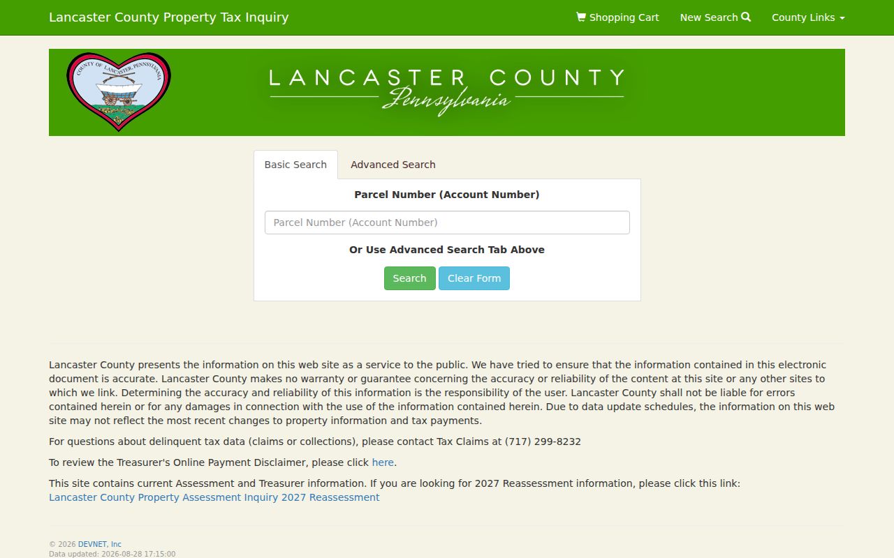
The search screen is the address entry point. The individual parcel card is where the site address, related names, property features, and sales-history context must be read together.
Manor Township Parcel Map Context
LanCo View 2.0 supplies parcel acreage, dimensions, imagery, and deed-reference context. The public GIS description directs land-record questions back to wEdge and the Recorder. During research, the live JavaScript interface did not expose every interactive layer or click control, so a street directory should not claim an unverified buffer, export, or ZIP tool.
Map the subject parcel first, note its identifier and visible boundaries, then inspect each touching parcel as a separate record. Nearby geometry means the parcels touch or lie close on the map. It does not establish that owners are related, that they occupy the land, or that a household relationship exists.
See the Lancaster County assessment guidance source shown here.
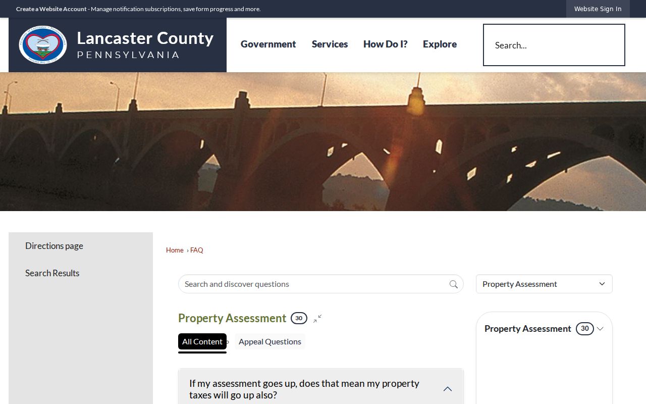
County assessment guidance reinforces that property search is a free public route, while the map supplies spatial context for the street-by-street record chain.
Manor Township Permit Address Files
The Township has no verified searchable permit-results database. Its downloadable forms and current zoning application instead show how to make a narrow records request. Relevant fields include application number and date, property address, zoning district, tax account number, applicant and landowner information, project type, site plan, utilities, and estimated completion.
Ask for an existing application, decision, inspection record, correspondence, or certificate for a stated address and period. The applicant, contractor, and landowner may be different people. A permit can date a physical change or an administrative event, but it should not be described as proof that an applicant resided at the address.
See the Manor Township forms source shown here.
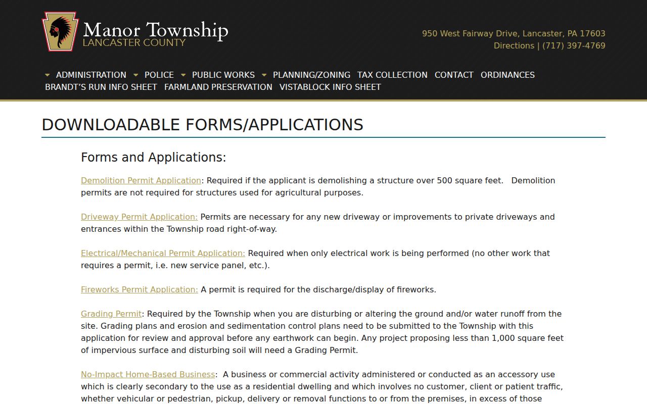
The forms collection provides a practical inventory for an address-specific request when the needed record has not been placed in a public online index.
Manor Township Street Record Chain
Each address-keyed record in Manor Township answers one narrow question. The parcel roll establishes land and displayed ownership context. GIS connects that parcel to its mapped boundary. The Recorder supplies recorded instrument parties and dates. Township material can document a dated project. Historic directories, tax rolls, and census items add era-specific household clues. A regulated election list follows its own formal rules and is not a web roster.
| Record Set | Keeper | What It Shows | Access |
|---|---|---|---|
| wEdge parcel card | County Assessment | Parcel, site address, related-name display, values, sales area | Free online search |
| LanCo View | GIS Division | Mapped boundaries, acreage, dimensions, imagery, deed-reference context | Free viewer |
| Recorder instruments | Recorder of Deeds | Transfer parties, dates, legal descriptions, document references | Portal and office access |
| Township permit file | Manor Township | Application, project, or decision tied to an address | Defined records request |
| Election street list | County Elections | Regulated list fields described by the state form | Formal request and affidavit |
| Historic sources | LancasterHistory and Archives | Directory, tax, map, deed, and locality evidence by era | Digital, appointment, or request route |
The parcel number, precise site address, and document date are the useful joins across this street directory. A street name alone is weak when road labels are shared, older deeds use metes and bounds, or a postal label points outside the Township. Preserve the source date and the record role beside every name.
Manor Township Deeds by Address
The Recorder public search is the recorded-instrument route after a parcel has been identified. Lancaster’s historical name index is described as covering 1729-1981, while newer deed search is described from 1981 forward. Search party spelling variants and use the legal description, instrument date, plan reference, or prior-reference wording to test whether the document belongs to the subject parcel.
Recorded land history is a backward chain. Begin with a recent confirmed instrument, identify the prior transfer reference or legal description, then compare the prior grantor and grantee roles before moving back again. A historic deed can describe a tract without today’s street number. The right response is to compare maps and land description, not to force a modern number onto the older record.
See the Recorder public-search entrance shown here.
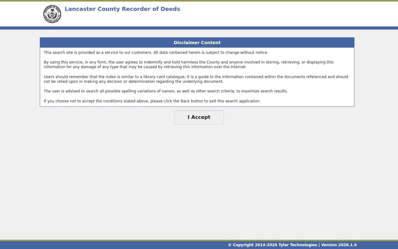
The Recorder search entrance includes a reliability notice. An index result must be checked against the underlying document and parcel context before it is used in an address timeline.
Manor Township Historic Street Names
Older Manor Township research needs a map-and-description bridge. County Historical Indexes offers warranty-map eras in the eighteenth century, 1824, 1864, 1875, and 1899 over modern-address context. Locate the modern parcel first, note the map’s date and label, then seek a deed, tax entry, or collection reference that names the person independently. A name near a georeferenced image is not enough to establish the current address.
See the Lancaster County Recorder source shown here.
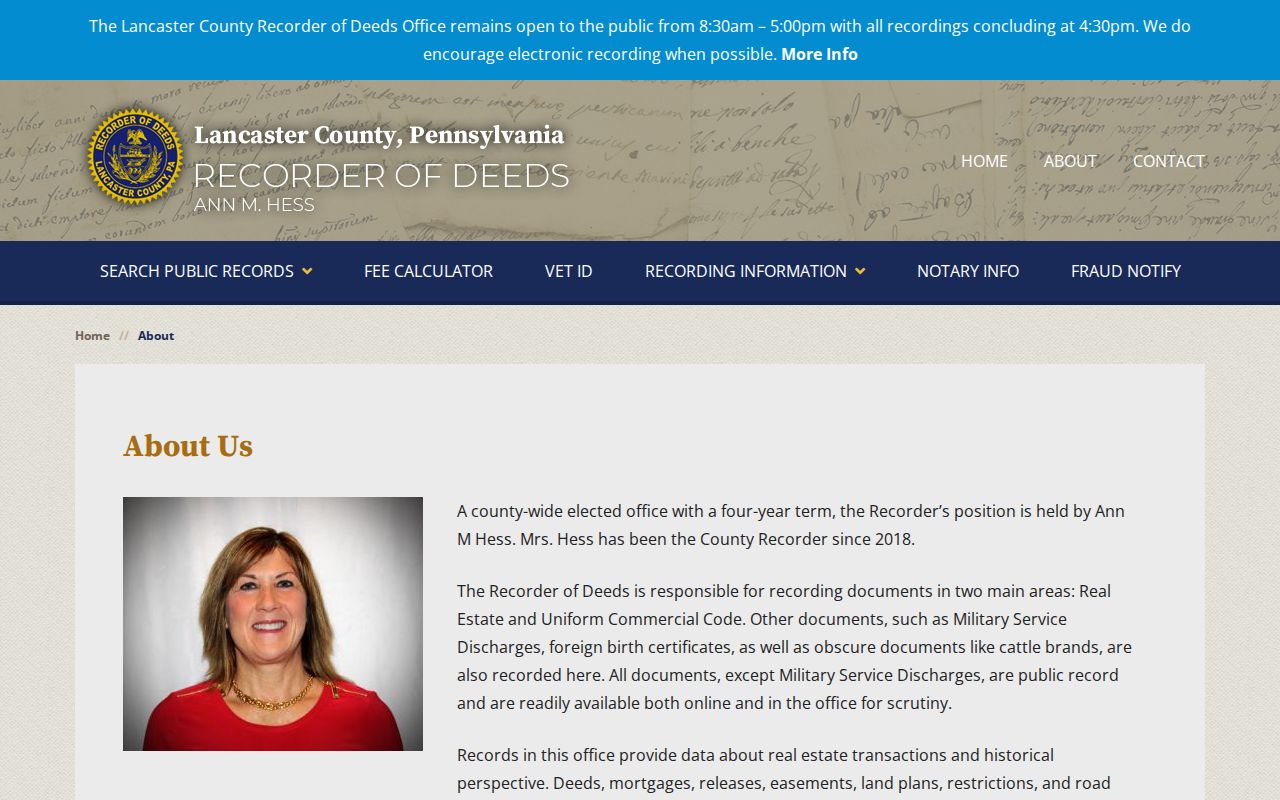
The Recorder’s office description confirms its role for deeds, mortgages, releases, easements, plans, restrictions, and other instruments that can help bridge historic land descriptions.
Manor Township Voter Street Rules
Lancaster County maintains alphabetical street lists, but those lists are regulated election records. The state request form distinguishes public, street, walking, and full-export lists. It calls for requester information, identification details, a signature, and an affidavit. The stated form fee is $20 for the county or statewide request arrangement it describes.
The affidavit confines use to election, political, or law-enforcement purposes and prohibits internet publication. A street directory should therefore explain the official request route without copying list data into a page or suggesting a workaround. The individual voter-status tool is a different, person-specific channel.
Manor Township Street Directory Limits
A Manor Township street directory cannot show every person at an address. The property roll documents land and displayed ownership, not household occupancy. A deed documents a recorded transaction, not a daily residence. Permit contacts can be applicants, contractors, or owners. Utilities, DMV personal data, protected addresses, and many household details are not public street-search records.
Use a historic directory or tax roll only for the period and locality it actually covers. LancasterHistory’s Manor tax records are notably rich but discontinuous. An absence from a listed tax year or a directory volume may reflect a gap, a variant place label, or a missing entry rather than a move. The historical shelf is explored on the Directory Book page.
- Parcel
- A county land identifier that connects the property card, map, and recorded documents.
- Situs address
- The property’s physical site address, which may differ from a displayed owner or contact address.
- Plat or plan
- A recorded map or subdivision reference that can help link a tract to later parcel boundaries.
- Criss-cross directory
- An address-arranged directory. No verified Manor Township run was captured, so inspect a volume before relying on one.
Manor Township Address Dates
Build a Manor Township street directory as a timeline, not a static statement. A wEdge tax year, deed recording date, permit application date, directory publication year, tax assessment year, and map date are separate observations. A recorded deed may post after the event it describes, and a permit can predate construction. Writing each date beside its source reveals gaps and prevents one document from carrying more weight than it can support.
Where an address fails, return to the parcel ID, road spelling, municipality 410, and legal description. Then give the County Archives a name, approximate period, former road designation, and record type. That narrow request is more useful than searching a modern street number across unrelated historical records.
For an earlier Manor Township address, add the directory citation, tax year, and historical map label to the same worksheet. LancasterHistory’s tax guide lists discrete Township years, not an uninterrupted annual series. A missing listed year leaves a research gap. It does not establish that a household arrived or departed. County warranty-map layers from the eighteenth century, 1824, 1864, 1875, and 1899 can give a rough tract or road context, but the date and cartographic label must stay attached to that observation. Use a deed, tax entry, or original directory image to independently test any person-name connection.
Keep the source channels separate when online searching stops. Recorder records are available online and in person. County Archives can check indexes when a focused email or mail request supplies a name, timeframe, and record type; its stated request charge is $5 for up to 20 images or pages, plus postage, then $0.50 for each additional image or page. LancasterHistory is the local-history channel for maps, directories, newspapers, and manuscript material. Each route provides a different way to resolve a Manor Township street question without overstating what the first portal result means.